Last weekend I successfully completed a "contour transect" of the Monte Sano Plateau where I live. This is a complicated phrase that really just means I trekked all the way around the Monte Sano Plateau trying to stay as close to the same elevation contour as possible. So in theory I should have been able to hike around one of the many benches that ring the plateau and not gain or lose any elevation at all.
However, the route I chose, along the 1480' contour, kept me just below the main bluff or escarpment wall which avoided most trails in both the Land Trust and Monte Sano State Park; so my route was almost entirely off trail! The only exception were in the few instances when a trail happened to fit within the +-50' vertical buffer I allowed myself to help avoid extremely tough going (with mixed results). The route I took ended up measuring at a little over 12 miles and involved over 1600' of climb which took me just less than 6 hours to complete! Yes I could only manage just a hair over 2 mph!! Checkout the pictures after the jump and you'll understand why it was so slow!
First I'd feel remiss if I didn't mention two of the big inspirations I had for this trek. The first was from years ago when I read about the 1999
MegaTransect which was a 455 day expedition where scientists cut a 2000 mile straight path through the jungle in Congo in order to study and catalog the various species of plants and animals encountered along the way. I just thought what an amazing story. The expedition had to literally cut there way through the dense foliage and forge their own compass bearing path; often having to wade through waste deep swamps or scale rock bluffs; never deviating from that compass line!
The second occurred around the same time I was following the MegaTransect I came across a book that became very influential to me and my entire approach to running; it's a book I've read multiple times called
Bone Games: Extreme Sports,Shamanism, Zen and the Search for Transcendence . Despite the strange title the book delves into the outdoor experience as a way to discover and transcend our own perceived limitations. One "Bone Game" discussed in the book involved a similar concept to the transect but as an outdoor adventure game. Basically one goes to a park system, chooses a compass bearing and then attempts to follow that line over whatever terrain is encountered without exception; their GPS track should look like a straight line through the woods! Anyhow give the book a chance it's a really quick read and a must for any aspiring or current endurance athlete to read. Trust me.
So on to the account of my own Bone Game...
I got a late start on a cold morning (for Alabama) in February thinking that I'd only need 3 hours or so to complete the 10 mile (I thought then) contour transect. After all I'd explored a few different sections that I'd be covering this day and the way, while there was no trail, was still fairly easy to transect. However, after I fell and snapped my trekking pole barely a mile in to the epic I realized I was in for a long day!
Despite this early causality I actually started to make pretty good time through and out of McKay Hollow along the 1480' contour. Unfortunately since I was fussing with poles and gloves I didn't dig my iPhone out to take any pictures then. It's a real shame to because there were some spectacular capstones and slots in the escarpment that I traveled through and around. Next time!
However the relatively easy going (2.5-3 mph) came to an abrupt end just after I crossed Monte Sano Boulevard and began to traverse the southwest corner of the plateau. This was the first of many sections I discovered that were thick with willow bushes, saw briars and downed trees.
 |
| Dude where's the trail? |
 |
| At least there were bridges (sometimes). |
But even this bad section was soon traversed and I was blessed with a long stretch of much easier open woods hiking all the way along the top of the Land Trust property and on past the TV station.
 |
| One of the easier open woods sections along the west escarpment. |
 |
| Passing below the TV station. |
 |
| TV tower. |
 |
| Landtrust powerline, looking towards down town. |
 |
| Landtrust powerline, thankfully I was only pass through and not UP! |
 |
| Natural steps in the middle of the woods? |
 |
| Just who was Corrine? |
So I made pretty good time along the western escarpment but I realized then that there was no way I was going to finish this contour transect in three hours; was looking to be more like five or six! Twice as long! I rounded the north west corner of the plateau and the way continued to be a challenge but not as bad as what I'd encountered about the Waterline Trail a couple miles back. The route along the north escarpment was fairly open through the woods but there were more frequent rock gardens encountered.
 |
| View through the capstones at north west corner of plateau. |
 |
| "Holey" capstone! |
 |
| Interesting formations rounding the north east corner of the plateau. |
After the turn onto the eastern side of the plateau the route got much, much worse! Found that the 1480' contour, even allowing for the 50' vertical tolerance often kept me on a steep side slope littered with rock gardens and fallen trees! Much cursing ensued! The worst part was I could've thrown a rock to where the nice Mountain Mist Trail was paralleling my difficult path!
 |
| Yuck! |
Finally I emerged back into the sun light and rounded the south east corner of the plateau just below O'Shaughnessy Point. I was now in the home stretch having entered the McKay Hollow where I'd started my epic many hours before. I truly saved the best terrain for last. While the rock gardens were still frequent, at least the woods were mostly free of large blow downs and difficult briars; at least it was easy to skirt around them. It was in this last couple of miles that I came across many wonderful gems in the woods that made me instantly forget the fatigue in my legs; rock formations, towering capstones and narrow slots in the escarpment.
 |
| Rounding the south east corner of the plateau. |
 |
| Underneath the overlook at O'Shaughnessy Point. |
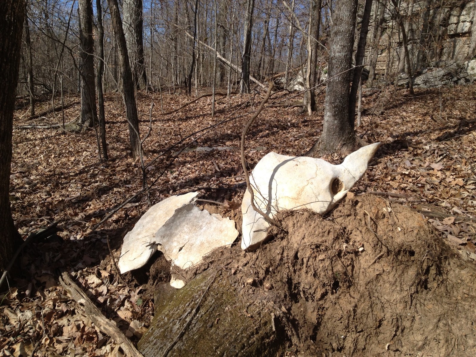
 |
| Mysterious stone skeleton... |
 |
| Woods trekking bliss! |
 |
| Hiking through the capstones. |
 |
| More capstone hiking. |
 |
| Slot in the escarpment. |
 |
| Guillotine Rock. |
 |
| Final GPS map of my route. |
And just like that I was back to where I'd started earlier that day; I'd completed a contour transect of the Monte Sano Plateau. I think being a touch more liberal with the vertical tolerance I could easily avoid some of the extremely difficult terrain I encountered. However, some of the most amazing geologic formations occur right up against the escarpment I endeavored to stay next to; a task that involved a lot of hardship to accomplish, but one that was well worth it in the end! Overall it was an amazingly wonderful experience that I hope to repeat again and again.


